Palestine Open Maps
Palestine Open Maps (POM) is a platform for searching, navigating, downloading and digitizing historical maps of Palestine/Israel.
I initiated the project with Visualizing Impact on discovering an online collection of hundreds of highly detailed Survey of Palestine map sheets from the British Mandate period. The idea of the project was to “open-source” these raw map sheets by making them navigable and searchable through a slippy map interface akin to Google-maps.
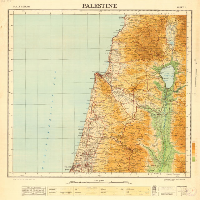

1946 map titled "Palestine", 1:250,000 scale (left). 1951 map titled "Israel", 1:250,000 scale (right).

1:20,000 Survey of Palestine map of Haifa from 1942.
Interactive UI prototype for Palestine Open Maps.
A demo of the original features of Palestine Open Maps at launch.
Zooming through geo-referenced 1940s maps layers at 1:250,000; 1:100,000, 1:20,000 and 1:10,000 scales.