A National Monument Exhibition
A National Monument is an art installation and exhibition developed in partnership between Visualizing Palestine (a project of Visualizing Impact) and the artist Marwan Rechmaoui. The installation consists of 32 wooden topographic reliefs of the major cities and towns of Palestine circa 1947, based on historical maps from the British Mandate and digital topographic data from NASA.
I initiated the collaboration between Rechmaoui and Visualizing Palestine, and worked with the artist over a number of months to develop the concept and topographic reliefs. The final reliefs were CNC cut based on 3D computer models and hand finished by Rechmaoui. I also led the design and curation of the initial exhibition of the work at Dar El-Nimer in Beirut.

A National Monument exhibited at Dar El-Nimer in January 2019.

Opening night at Dar El-Nimer.

A close-up of Beersheba, in southern Palestine.
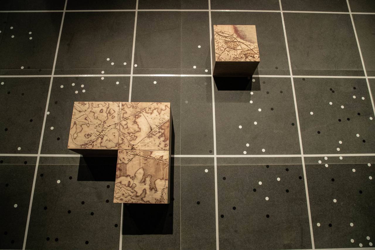
Pieces for the cities of Jaffa, Ramle and Lydda in central Palestine.
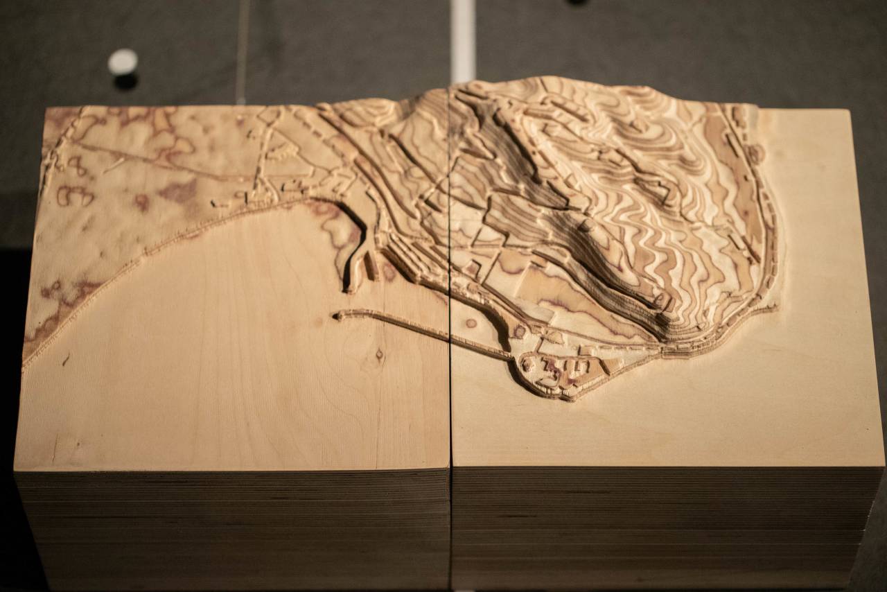
Close-up of pieces for Haifa in northern Palestine.
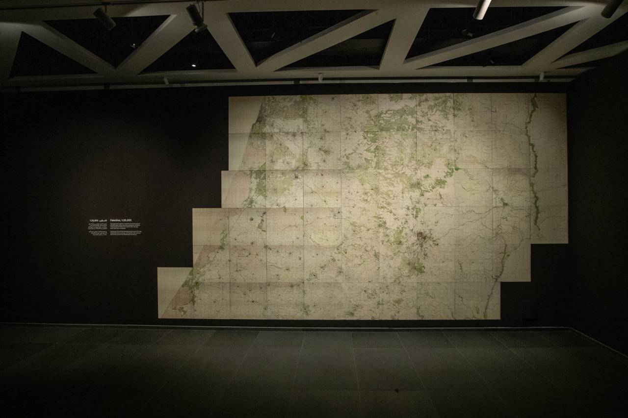
Full scale prints of original 1:20,000 maps, showing central Palestine from Jaffa (top left) to the Dead Sea (bottom right).
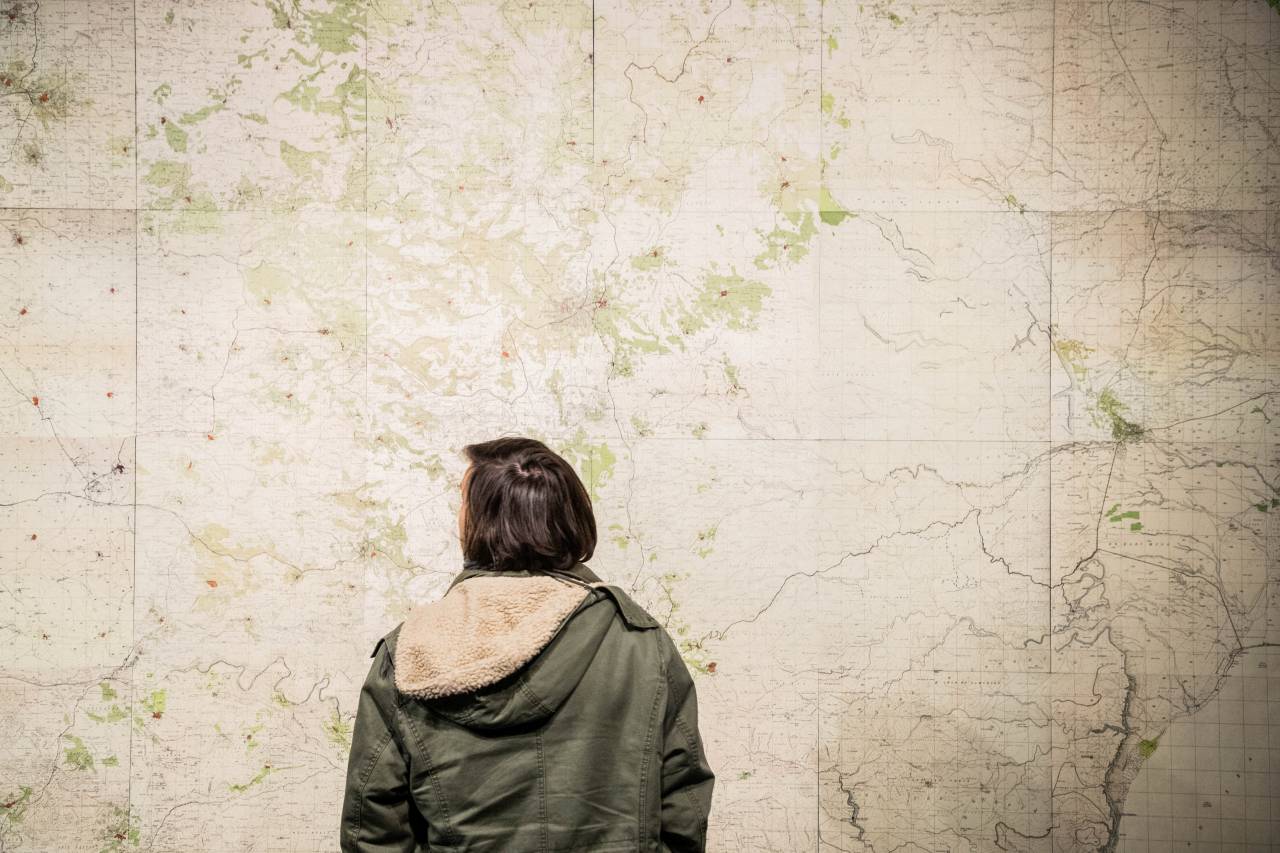
A close-up of the maps.
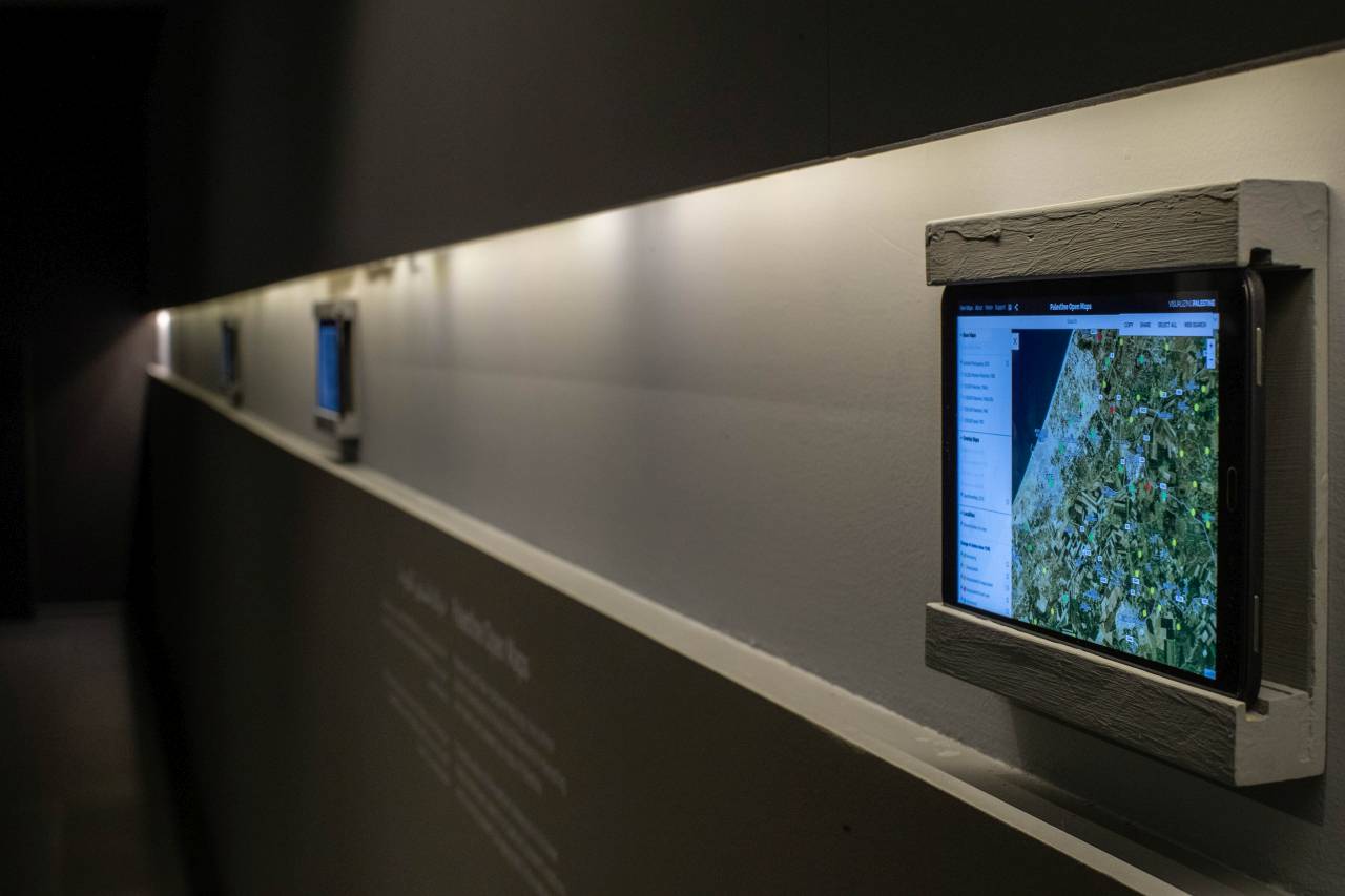
Palestine Open Maps, a sister project, on display at the exhibition.
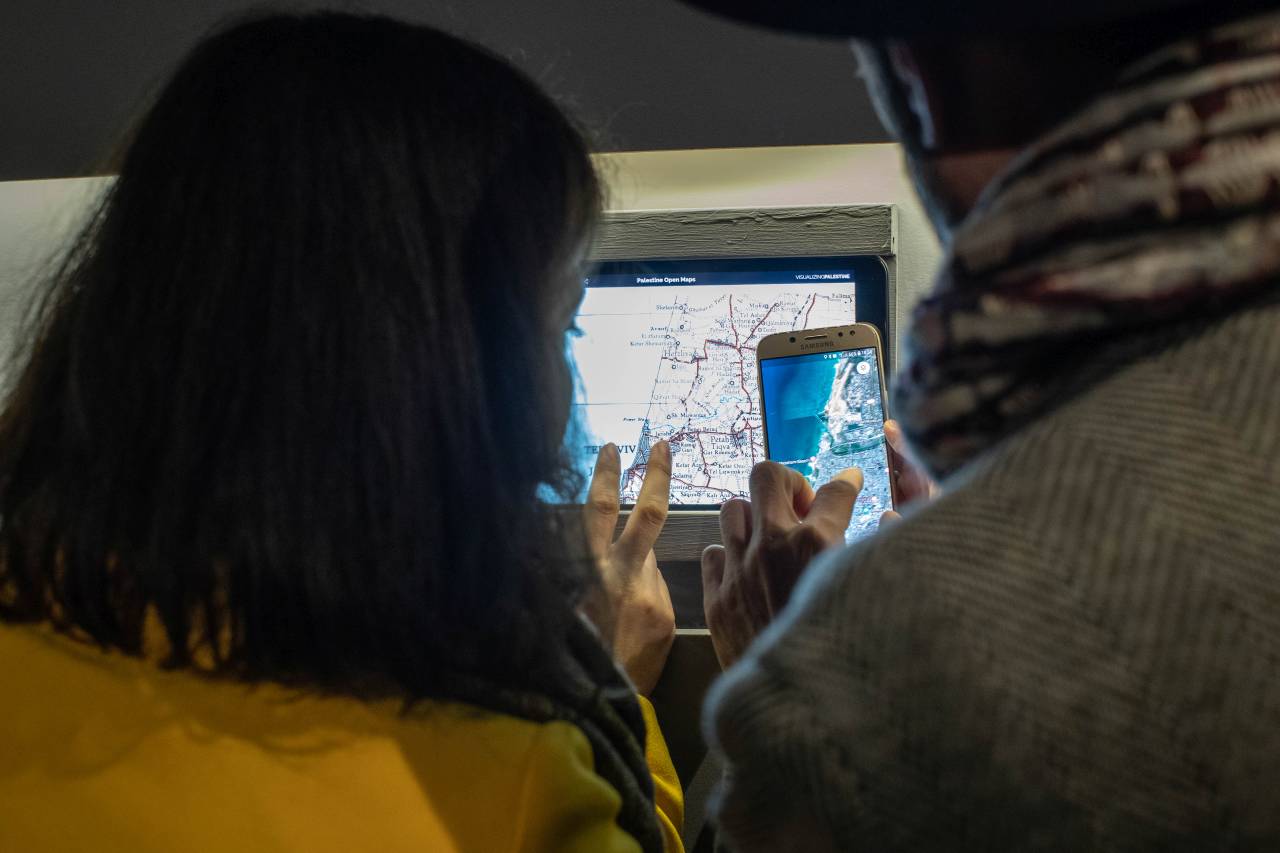
Visitors using Palestine Open Maps to locate Jaffa/Tel Aviv area.
3D map of Nablus created in Rhino using a custom Grasshopper script.

Nine city blocks in the process of being CNC cut.
Acre city piece going through finishing pass on CNC machine.

Close-up of rough-cut Haifa piece before finishing pass on CNC.